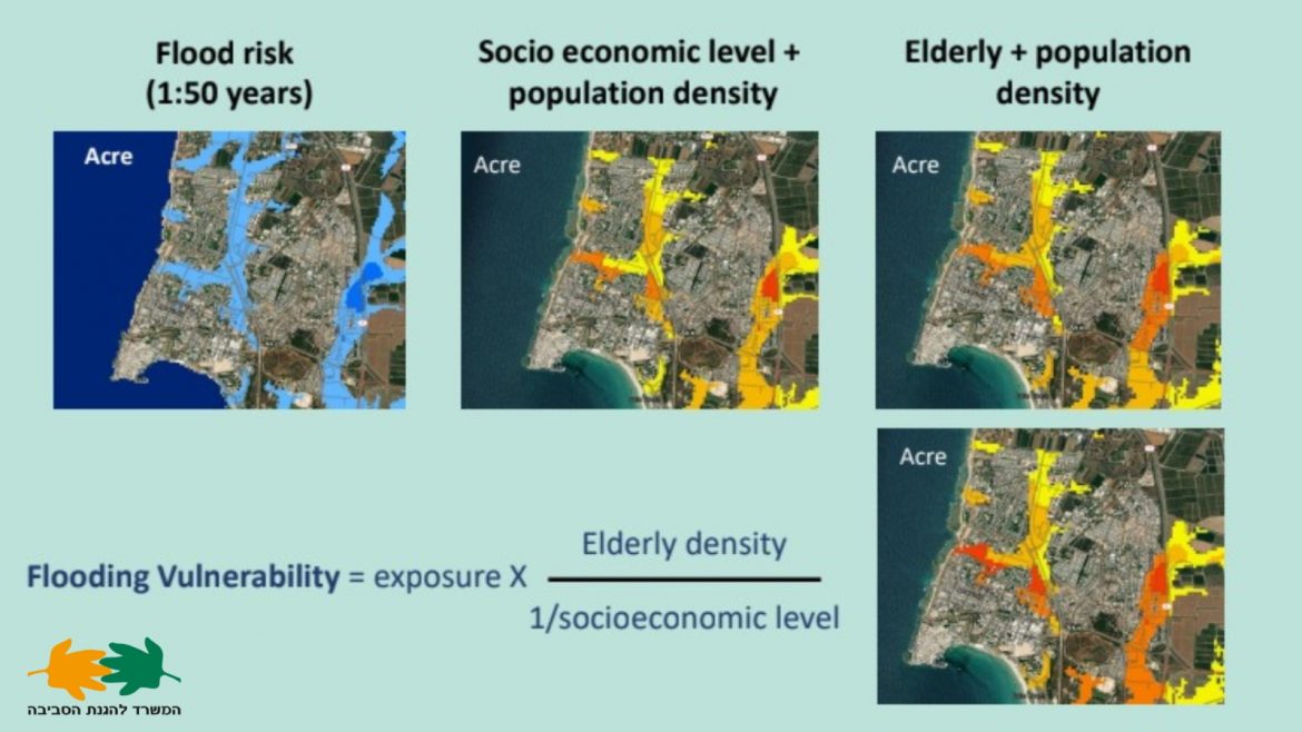
The Israeli Environmental Protection Ministry on Thursday provided new information on a portal that is currently being developed and will include real-time, interactive climate risk maps to assist policymakers and local authorities in preparing for various aspects of climate change, such as storms, flooding, fires, heatwaves, and sea-level rise.
The project, which was started earlier this year, reportedly draws inspiration from a national risk assessment made by the Federal Emergency Management Agency (FEMA) of the United States.
The portal’s first edition is anticipated to go live next year after additional technological development. Local authorities who have reacted to a ministry request for assistance in developing plans for preparing for climate risk will test it out first.
Read also: Report shows how Africa can combat air pollution
At the UN’s COP27 climate conference in Sharm el Sheikh, Egypt, Prof. Noga Kronfeld-Shor, the chief scientist for the Israeli Environmental Protection Ministry, said that “the climate crisis affects each area in a different way — the risk, the sensitivity to risk, and the ability to prepare for the effects of climate change vary with a high spatial resolution.”
Therefore, in order to navigate and establish priorities for climate change adaptation, policy- and decision-makers require comprehensive and easily available information.
The Israeli digital portal will provide high-resolution “Vulnerability Index Maps” and vulnerability forecasts based on models developed by the UN Intergovernmental Panel on Climate Change by combining numerous layers of information. Additionally, suggestions for potential solutions to the problems caused by climate change will be included.
Story was adapted from The Times of Israel.
