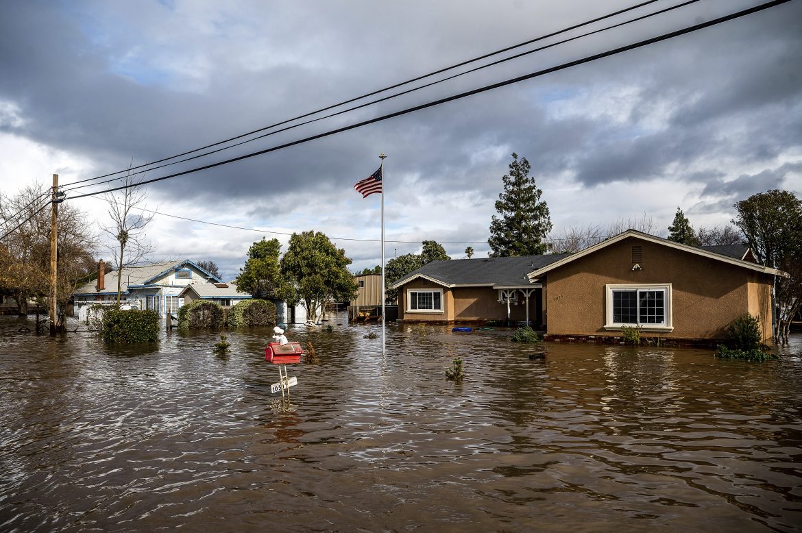
Researchers at Princeton have projected that climate change will markedly impact river basin flooding across the United States during the 21st century.
In an article titled “Higher emissions scenarios lead to more extreme flooding in the United States,” published in Nature Communications, the researchers found that projected variations in temperature and precipitation are expected to drive increased flooding in the Northeast and Southeast, particularly along the Eastern Seaboard.
Flooding will generally decrease in the Southwest and the Northern Great Plains in areas including Montana and the Dakotas, the researchers who broke down flooding analysis into its main physical mechanisms said.
Gabriele Villarini, who is a corresponding author said that by basing projections on mechanisms such as temperature and precipitation, the researchers took a new approach to flood analysis. He said that most analyses examine the historical record and look for trends in data moving through the present and into the near future.
Read also: Poland moves to halt logging in 10 ancient forests
Planners often refer to floods using the historical record, talking about a 100-year flood or a 1,000-year flood as a measure of severity. But Villarini said that this type of analysis is insufficient during a changing climate.
“When we design protective structures, we design for the future, not for the past,” said Villarini, a professor of civil and environmental engineering and Princeton’s High Meadows Environmental Institute. “If all you do is look at the past and assume the future is just the same as what happened before, you will run into potential issues because of climate change.”
The researchers said that most analyses using the historical record have found no statistically significant trend toward greater, or lesser, flooding in recent decades. But they said this is an issue that is likely dependent upon the extreme nature of these events.
Story was adapted from phys.org.
