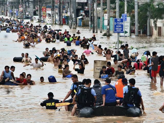
Scientists at the Department of Energy’s Oak Ridge National Laboratory have developed an environmental justice lens to help identify neighbourhoods that are vulnerable to climate change.
The new tool, which is expected to help ensure that mitigation and resilience programs reach the people who need them the most, builds from environmental justice research— a key aspect of the federal government’s strategy to manage the adverse effects of climate change.
Till now, scientists were said to have had limited tools to assess and ultimately predict socio-economic risks in environmental events, particularly when multiple forms of vulnerability interact with each other.
Reacting, ORNL’s Christa Brelsford said that climate modellers are very good at telling us exactly when and where bad things are going to happen in the physical world.
“But we also have to think about where the people are,” she said, “Most of the world’s population live in cities and in order to analyze climate risk, we have to think about impacts and vulnerability—and there’s a lot of vulnerability in an urban environment.”
On his part, ORNL project lead Nagendra Singh said that climate modelling has mostly focused on “where things like a one-degree temperature increase will happen, or where there’s going to be more heat waves in our climate models.
Read also:Study shows 80% of vehicles in Rwanda emit Greenhouse Gas
“But we have not stressed the fine details of those impacts—how climate events will disproportionately impact different communities,” he was quoted as saying. “Applying this geodemographic data to the models is a good approach to generating the information needed by decision-makers.”
To develop the tool, the ORNL scientists used microdata from the U.S. census to create a synthetic population, approximating the individual makeup of urban communities to assess the vulnerability and adaptive capacity of neighbourhoods to climate events.
The team also used demographic information such as income level, age, gender, ethnicity and housing from the census databases and generated building characteristics data to determine whether a structure was an office, store, apartment building or another type of structure by applying machine learning techniques to satellite imagery.
They developed and tested the platform using data from the Atlanta metropolitan area to characterize neighbourhoods and then evaluated the potential impacts of urban heat islands across different demographically defined groups.
Story was adapted from PHYS.ORG.
